Peak: Mount Harvard
Date: 3/1/08
Start Elevation: 8500 ft
RT Mileage: approx: 24 miles
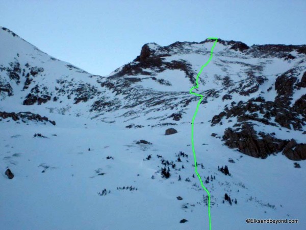
Route: North Cottonwood Creek to Horned Fork Basin to SW ridge
Elevation gain: 5900 ft.
Climbers: Jordan, Spencer
What can I say about this winter? It has been great for skiing, but pretty bad for the most part in terms of getting peaks climbed. Well on Saturday we were trying to do both. The CAIC website was calling for moderate danger around the compass, and these warmer temps and freezing at night gave us some confidence in the snowpack up high.
We left Fort Collins late Friday night around 11 pm. We pulled into the trailhead 2:20 am after a brief run-in with the Jefferson County Sherriff in the speed trap that is the mile between Sheridan and Wadsworth on I-76. We decided that it wasn’t worth setting up a tent and just crashed for a couple hours in the front seats. We hit the trail around 5:45 am.
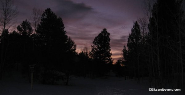
We had about 4.5 miles of road walking to get to the trailhead from our car so we set off, me on skis, and Spencer on Snowshoes, carrying a snowboard. The road was packed, frozen, spring-like snow all the way to the trailhead, which made for quick travel.
Gotta love it when the Register is at snowline
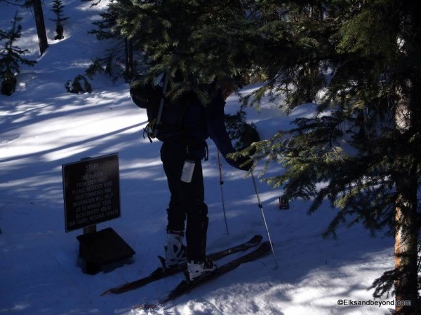
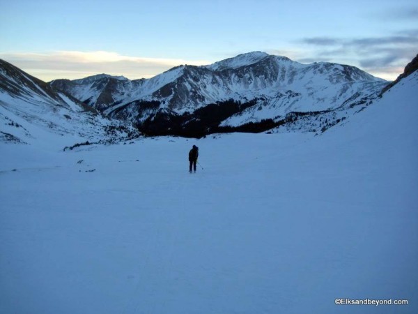
From the Trailhead it is supposed to be 13.5 RT miles to Harvard and back. I’ve had the problem before of losing the trailcut into Horned Fork before, in the snow and today was no exception as we blindly ended up following some snowshoe tracks that were headed for the south ridge of Columbia. We realized our mistake and did a climbing traverse to treeline to intercept the route in the lower basin.
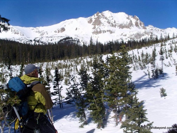
The day had been warm most of the day and the snow around treeline had certainly started to thaw. After a quick bite we were off. We wound our way up the drainage in the bottom of the basin and gradually gained elevation and climbed up the ridge that cross cuts the basin around 12, 900.
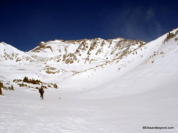
From here the standard summer route did not look totally reasonable so we headed for a higher saddle on the south west ridge of Harvard between Harvard and unnamed point 13, 588.
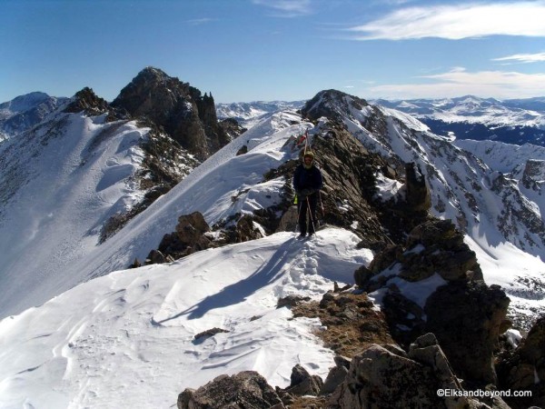
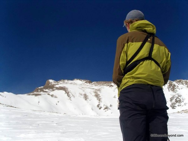
At this point we were certainly feeling out legs and were ready to get this summit, but right about the time we were nearing this saddle, here came the wind. It was blowing at a constant 30 with gusts to 50 and higher.
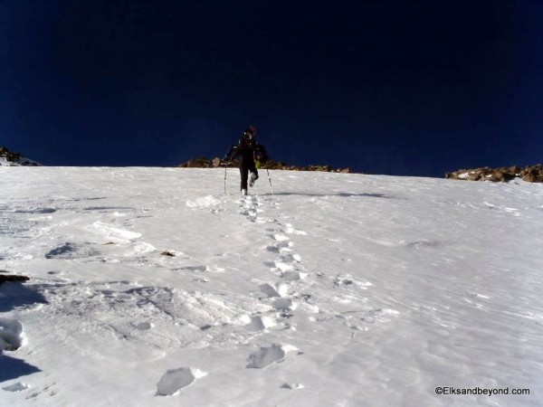
One foot in front of the next:
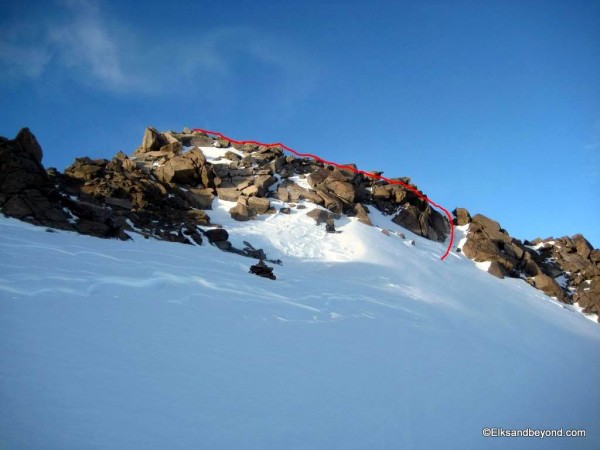
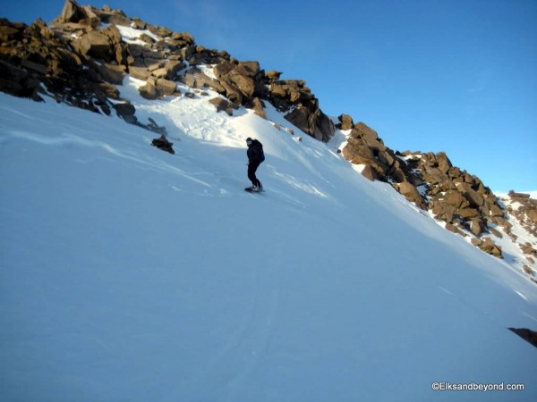
We pushed on anyway and finally reached the summit around 4:30 pm. At least there aren’t T-storms in winter I suppose. After stripping skins and gearing up (no easy task in the wind), it was time to ski. Spencer, on his board was not really in it for the summit ski, so he downclimbed to the face below. I touched the boulder with the ski tails and pole and skied East off of the summit, connecting patches of snow down to a small chute that dropped to the south face. A couple of side slips and steps later, and a quick straightline and I was to the real snow.
I ski cut to the other side of the face and back onto the ridge – nothing moved, not a bit.
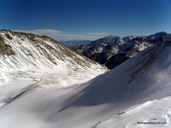
Spencer off the top snow field:
rom here we skied safety zone to safety zone all the way down staying very close to rocks and as soon as possible cut skiers right onto a Southeast aspect.
This aspect was lower angle and we were gaining confidence in the stability of these slopes. A few big turns brought me to a hanging valley and on over to the 12,900 ridgeline saddle. Spencer came following and we found a nice narrow chute to play in on the way off of it.
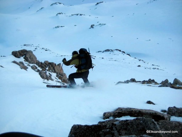
We skied out to treeline and down the creek bed for a while. Somewhere around 11,000 feet it was totally dark and the skiing (snowshoeing for spencer) was done by headlamp.
It turns out after looking at a map later that we followed the creek slightly too far and ended up upvalley from the bridge creek crossing. We opted to ski down Cottonwood Creek until we met up with it. This proved to be a chore in itself skiing from snowbridge to snowbridge. But after only one bridge collapse and much bushwacking, log riding, and swearing we found ourselves back at the bridge. This was a pretty big relief and the ski out to the trailhead was uneventful. From the trailhead most of the way back is downhill on the road and with the icy frozen snow made for some VERY fast conditions for headlamps. There were a couple of hills to push up (or walk for the mono-planker), but overall the road was the quickest part of the day.
Finally skiing the last couple hundred yards down to the car on the road and skiing to the car door around 9:45 pm, we capped off a 24 Mile, 5900 ft, 16 hour day!
We drove into Buena Vista just after 10 pm, and found that the only place still serving food happened to be the 7-11. Oh well, 3 hot dogs it is. We headed off and grabbed a room at the Super 8, and crashed for the night.
And the next day the storm hit. Timing was perfect.
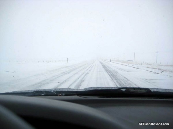
The drive back sucked:
